
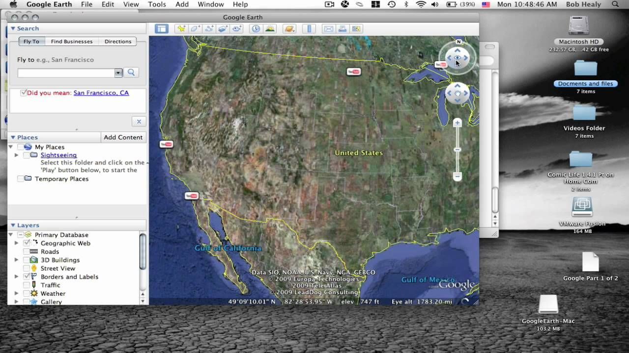
Google Earth Pro is a powerful desktop application available for macOS that offers an array of tools for exploring and analyzing geographical data. Here’s a comprehensive overview of its main features:
3D Visualization
Google Earth Pro provides a stunning 3D view of the Earth, allowing users to explore detailed terrain and buildings around the globe. This feature enables immersive navigation through satellite imagery and 3D models of cities.
High-Resolution Satellite Imagery
Users can access high-resolution satellite imagery from various points in time, offering a detailed view of different locations and enabling historical comparison.
Street View
The software includes Google Street View integration, allowing users to virtually walk through streets and view locations at ground level. This is particularly useful for exploring cities, landmarks, and natural landscapes.
Geographical Measurements
Google Earth Pro offers advanced measurement tools to calculate distances, areas, and perimeter lengths. This feature is useful for a variety of applications, from real estate analysis to environmental studies.
Data Import and Export
Users can import and export various geographic data formats, such as KML, KMZ, and CSV files. This capability supports integration with other geographic information systems (GIS) and enhances data analysis and presentation.
Layers and Overlays
The software provides multiple layers and overlays, such as roads, borders, and place names, that can be toggled on or off. Additionally, users can add their own custom layers to visualize specific data or highlight particular areas of interest.
Printing and Screen Capture
Google Earth Pro includes tools for capturing high-resolution screenshots and printing detailed maps. This is useful for creating reports, presentations, or simply sharing geographic information with others.
Historical Imagery
Access historical imagery to view how a location has changed over time. This feature provides insight into urban development, natural changes, and other transformations.
Advanced Search Functions
Users can perform detailed searches to locate specific places, landmarks, and addresses. The software supports filtering and sorting search results to quickly find relevant information.
Measure Elevation
Google Earth Pro allows users to measure the elevation of specific locations, providing insights into topography and terrain features. This is useful for understanding elevation profiles and geological features.
Overall, Google Earth Pro for macOS is a versatile tool that combines detailed satellite imagery, 3D visualization, and robust analytical features, making it a valuable resource for a wide range of applications from casual exploration to professional research.
Extensive Geographic Coverage
High-Quality Imagery
Advanced Measurement Tools
Historical Imagery
3D Models
Integration with Other Tools
Customization Options
Resource Intensive
Internet Connection Required
Privacy Concerns
Learning Curve
Limited Offline Functionality
Commercial Use Limitations


